
Apex Engineering Services are using 3D technology to develop most advanced service to our clients.
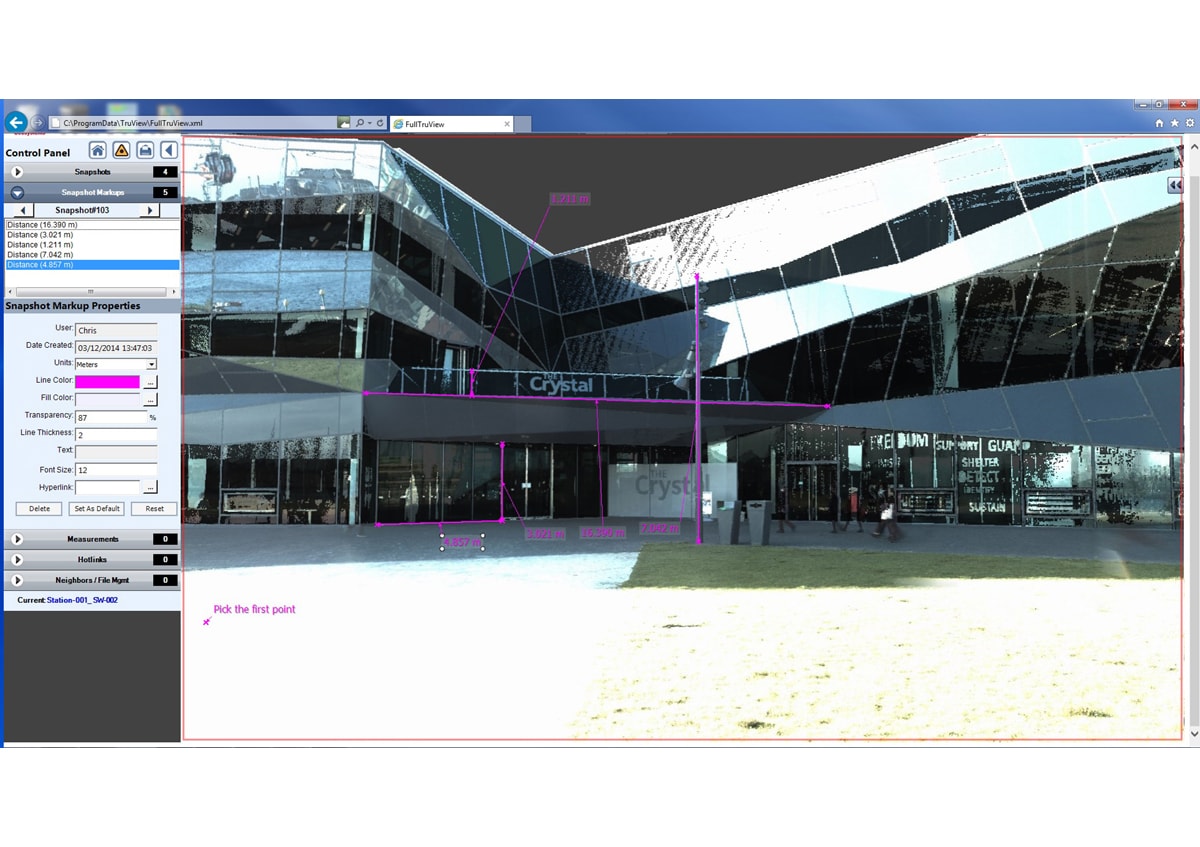
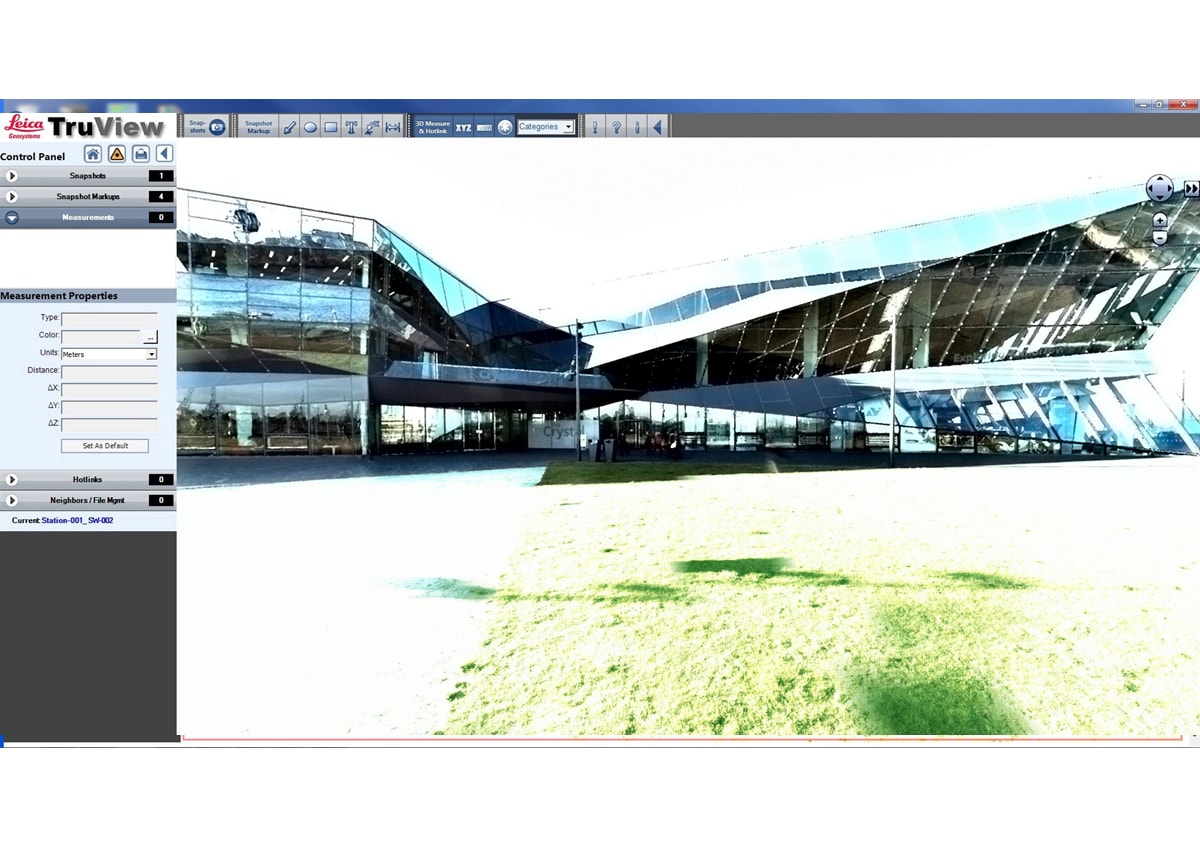
Apex Engineering Services publishes as-built or topographic point clouds and images in a user-friendly, panoramic viewing format. And there is no need to be a laser scanning, CAD or 3D expert to use TruView. It is easy-to-use, and highly effective, allowing our clients to view, zoom or pan over point clouds naturally and intuitively. Measure and mark up scanned sites from anywhere in the world at a time that is convenient to them. Scanned data can also be saved to local PC or network hard disks and/or optical drives if required.
TruView allows users to extract real 3D coordinates and measure distances with big accuracy. All the results will appear immediately on the point cloud image.
Features and Benefits
- quickaccess to data from any place in the world
- reduces site visits, investigations and costs of
project
- easy and quick decision making and collaboration