
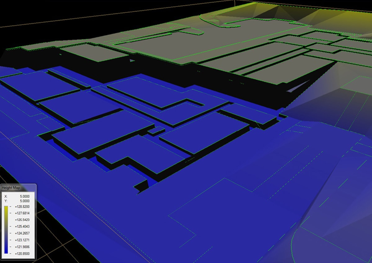
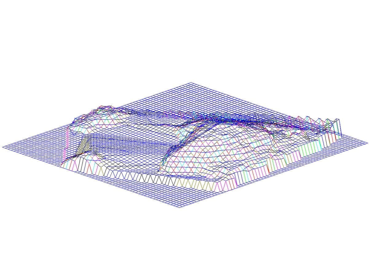
Apex Engineering Services employs state of the art software to create digital models.
Providing highly detailed representations of the topographical variations in site surfaces, combined with other digital data, such as maps or orthophotographs, our digital terrain models can provide a comprehensive 3D image of the land surface. Models showing terrain elevations for ground positions at regularly spaced horizontal intervals deliver an added dimension to site visualisation and provide our clients with an invaluable aid to their decision-making processes.
Digital terrain models from Apex Engineering Services can be used for a wide range of construction applications. These include: planning, engineering, visualisation, height analysis, environmental impact analysis, determining sight lines, wind flow and pollution dispersion, soil erosion modelling, flow direction and accumulation, watershed delineation.
Digital terrain models are used especially in civil engineering, geodesy & surveying, geophysics, and geography.
Features and Benefits
- digital terrain models are available in any requested
grid intervals
- digital terrain models can be used in the electronic
process of representing topography in three dimensions,
including slope and aspect maps
- data from our digital terrain models can be used in a GIS to create thematic maps, grids and contours