
Apex Engineering Services advanced CCTV survey technology delivers cost-effective solutions for all kinds of underground projects.
CCTV
Underground Pipe Surveys
Apex Engineering Services advanced CCTV survey
technology delivers cost-effective inspection of drains
and sewers, providing an instant, detailed picture of
their condition. We employ remote-control specialist
camera systems and software to relay images to a mobile
van unit, enabling our engineers to assess the structural
condition and integrity of the pipework without
disruption to the premises, the environment or site
operations.
Our highly sophisticated CCTV survey equipment, camera
units and software enable us to get optimal results from
underground drain or sewer surveys, providing video
evidence of their condition along with comprehensive
technical reports.
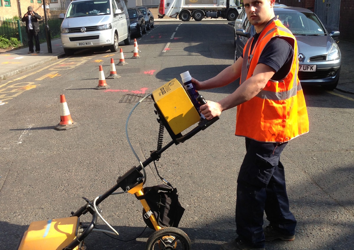
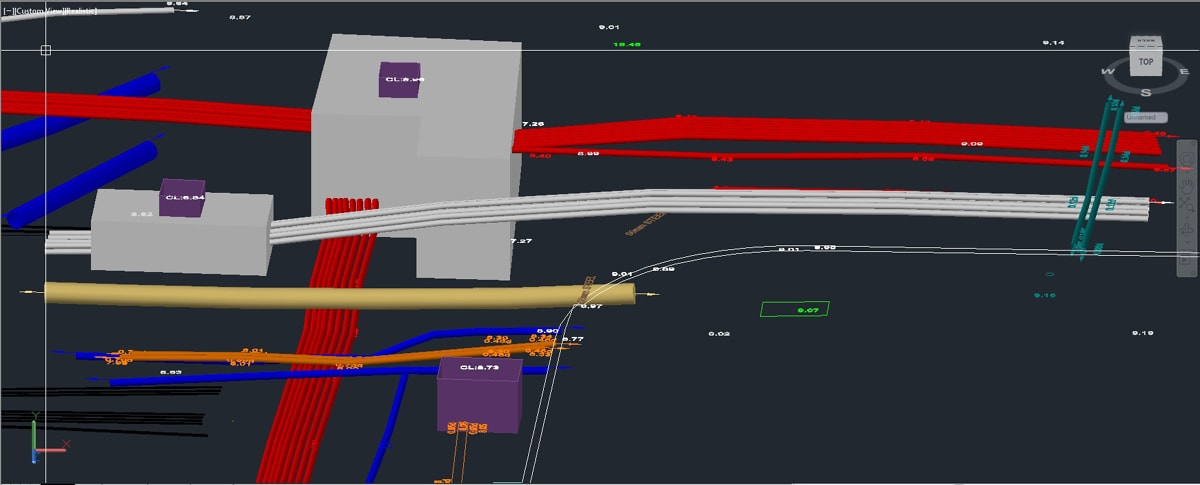
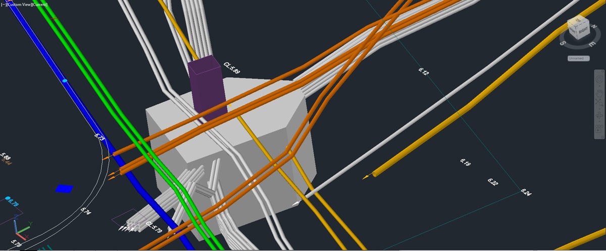
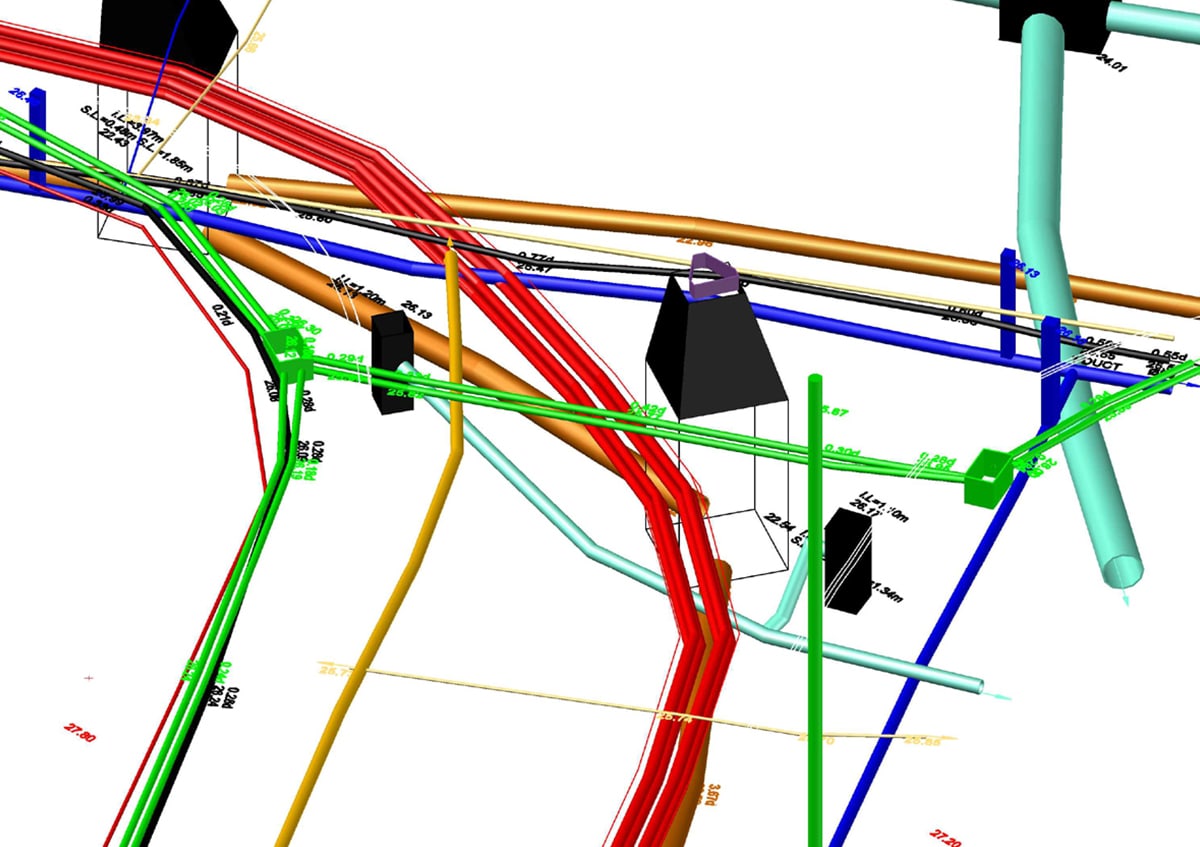
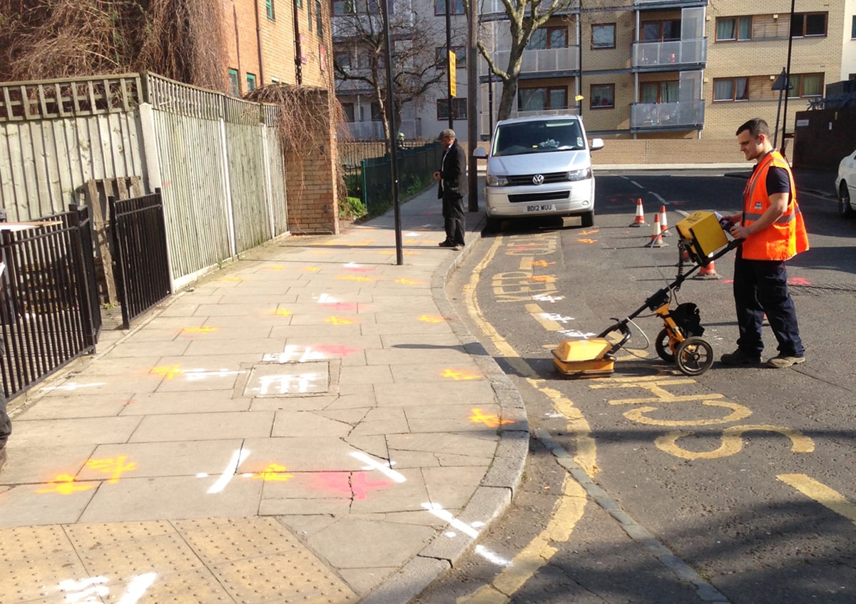
Utility Surveys
With accidental damage to utilities from construction
activity on the rise, Apex Engineering Services utility
mapping service provides a reliable safeguard against
costly delays and other financial losses. Our utility
surveys detect and trace electricity, telecoms, cable
TV, ductile iron water and sewer pipes, gas services and
comprise the following elements:
- site investigation
- manhole lifting
- drainage location
- radio detection
- our initial approach is to incorporate electronic
detection of underground services using
electromagnetism. As the receiver is swept across the
field, any conducting material below the surface creates
a magnetic field and is thus detected.
- our second approach is to detect an active signal
artificially generated by the transmitter, either by
direct connection or induction. A passive signal relates
to a naturally transmitted signal on a buried conductor.
This is detected by observing any 50Hz energy or
re-radiated VLF radio energy present.