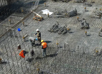
Construction Site Engineering
AES Construction Site Engineering
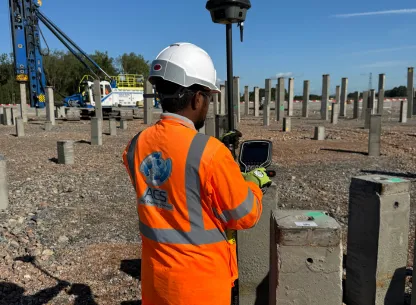
Setting Out
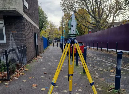
At AES, our Topographical Survey Services deliver precise and detailed mapping of both natural landscapes and man-made features on your project site.
Construction Layout & Robotics
At AES, our Setting Out Services provide precise alignment and positioning of all critical structures on your construction site.
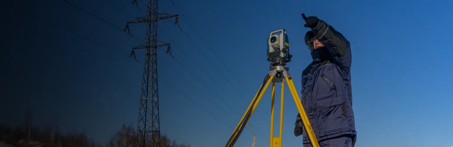
Survey Control
At AES, our Survey Control Services provide the foundational precision required for all phases of construction, from initial site assessments to the establishment of the final building footprint.
CASE STUDIES
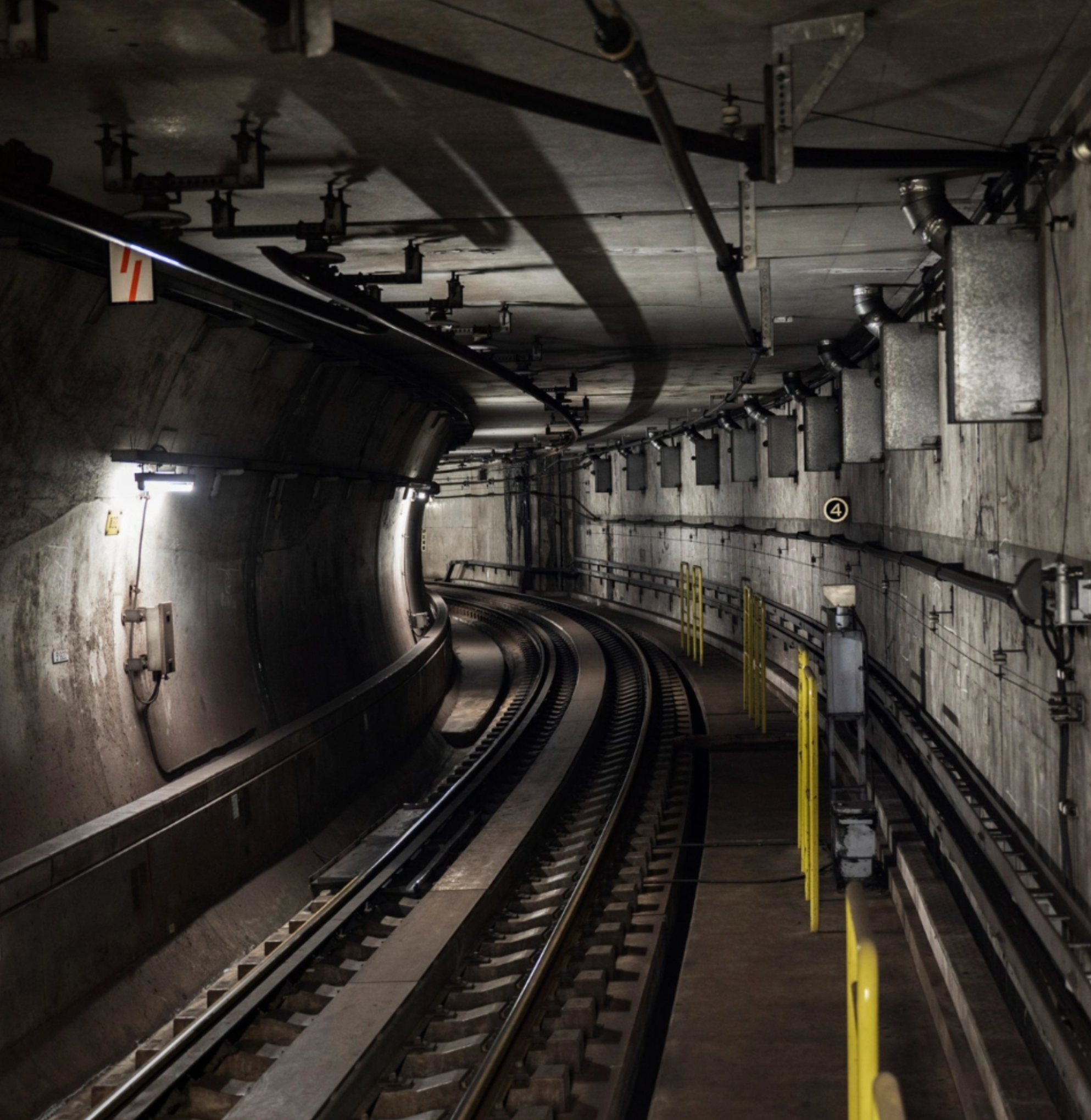
Utility Tunnels, UK
Scope of Works
Our client commissioned us to survey the entire underground tunnel structure – including the tracing, labelling and mapping of all high voltage utility cables – within a limited time-frame. Our access to the underground facility was limited to a 15-day window of opportunity. Within that time, we were required to survey the full extent of the tunnelling, including marking up/labelling all cables from entry to exit points.
Methodology
We employed Leica HDS 6000 laser scanners, which have a scan duration of one minute, 36 seconds per setup, and a total of 266 scans were needed to complete the survey.
Our use of high definition laser scanners meant we were able to complete the site survey works within 10 days, a full five days ahead of schedule. The completed deliverables were issued to our client within just one month of our leaving site.
Deliverables
We produced a complete set of drawings for the full extent of the underground system on an Ordnance Survey grid. The drawings included a comprehensive map of all utility cables from entrance to exit; levels and clearance heights to all tunnel entries and exits; cross sections at every intersection; and evenly-spaced sections between junctions. A total of 117 cross-sections were drawn up and labelled, including long sections at essential runs. Watch the movie:
We also provided our client with a copy of the Tru-view files, which deliver a 3D interactive photo environment of each scanning location. By using the key plan, our client could visually inspect and interrogate any point on the tunnel where the scanner was set-up. This enabled personnel, who had never set foot on the site, to view and interrogate the tunnels remotely from their desktop without the risk or expense involved in a site visit.
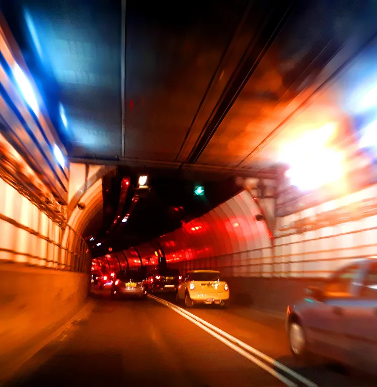
Blackwall Tunnel, London
Scope of Works
Our role was to carry out a survey of the whole length of the tunnel – including the ventilation shafts and the 239m northern and 263m southern approaches – using 3D high definition laser scanning technology. Our client required surveys both before commencement of the works and after their completion.
Methodology
The initial survey was undertaken by a team of three engineers, who established control over the entire length of the tunnel and co-ordinated the key positioning of the ventilation shafts in relation to one another. For the return visit, the tunnel closures for the survey took place over the course of five nights. A team of four surveyors worked for the first two nights to establish control and survey approximately 50% of the tunnel. For the remaining nights, a team of two surveyors completed the tunnel and ventilation shafts.
Deliverables
Our CAD team delivered grayscale Truviews as well as a 3D point-cloud on an Ordnanace Survey grid with a tolerance of 5mm for interrogation by the client. Taking into consideration the 1,866m length of the tunnel (including the northern and southern approaches), employing 3D high definition laser scanning technology for these surveys enabled us not only to turn both jobs around very quickly but to deliver a highly cost effective package too.
AES Featured Clients


© 2026 All Copyright rights reserved APEX Engineering Services Ltd.